

Collective specialized in the research and development of innovative design solutions for the integration of human and natural systems at all scales
Portland, OR
Joined July 2015
- Tweets101
- Following138
- Followers110
- Likes131




MAPS retweeted

Check out these photos from Bruton #Transpecies Design Intensive at Knight Campus! This event brings together incredibly bright minds from schools across the @uoregon College of Design.


MAPS retweeted

Don't miss it! Learn the ins and outs of data trees — and why you should never flatten or simplify!

A Grasshopper Data Tree Master Class for FREE with @andrewheumann. Are you going to tune in?
youtu.be/Z6Pb-ScLpFI
#yourdeskuniversity
#computationaldesign focused #Architects and #Engineers or #BIMManagers using @RhinoGrass and maybe @DynamoBIM users looking to transition

MAPS retweeted

Same data. Two simple #QGIS tricks to make it look very different:
1. Adjust line width based on an attribute. I am using a dynamic expression here (speed limit / 200)
2. Use feature blending mode to highlight overlapping lines. This map is using multiply.


MAPS retweeted

What a difference 3 weeks makes in air travel. The comparison here is between a days tracks for 12th March and 26th March. Data via @OpenSkyNetwork #dataviz


MAPS retweeted

This really cool gif at visualcapitalist.com/map-tru… thanks to @RobinhoodSnacks
MAPS retweeted
Now taking entries for the /r/MapPorn Monthly Map Contest
Submit a map here:
reddit.com/r/MapPorn/wiki/me…

MAPS retweeted
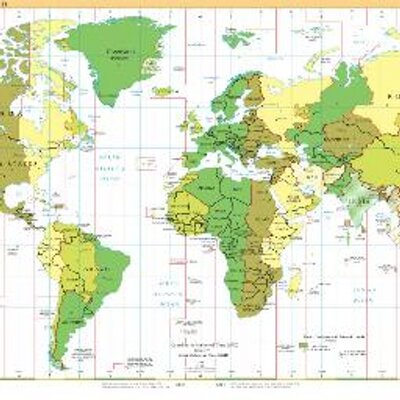
20 maps charting the rise of the modern megacity. How the 20 most populous urbanized areas have grown since 1990—in both physical footprint and total population.
@FortuneMagazine fortune.com/longform/megacit…



MAPS retweeted
I gave my mapzilla.co.uk website a well-deserved upgrade over Christmas and finally added all of my side projects including the recent TopoVoxels and #30DayMapChallenge projects. I'm aiming to keep this updated from now on! #maps #3d #dataviz


MAPS retweeted

Aprovechando el 250º aniversario del nacimiento de Alexander von Humboldt (1769-1859), comparto su famoso mapa de #isotermas de 1845. El primero en el que se trazaron esas isolíneas. #Humboldt250


MAPS retweeted

After some feedback about various national holidays, academic schedules etc etc, we're extending the workshop proposal deadline to Dec 20th (really really this time). If you've already submitted, feel free to tweak + resend. smartgeometry.org/sg2020
MAPS retweeted
See How the World’s Most Polluted
Air Compares With Your City’s nytimes.com/interactive/2019… (via @nytimes)


MAPS retweeted
#30DayMapChallenge Wrapup 🎉
Well, I didn't hit the 30 but here is a showreel of all of my animated maps. vimeo.com/376676036 Old concepts but new vizzes every day was a blast to do! I'm taking a break from twitter for 🎄 so see you all next year!
#maps #3d #animation
MAPS retweeted

TOURISCAPE2
#callforpaper
(...) el debate sobre el espacio turístico no ha sido suficiente para alimentar un discurso disciplinar pleno, a pesar de que ha sido la causa del desafecto y repulsa social del fenómeno y la dejación del estudio científico
touriscape.org/?fbclid=IwAR2…