CG15Wx (@cycloneguy15) header
CG15Wx (@cycloneguy15) profile picture

Wx enthusiast from the UK, mainly interested in the tropics & international severe with a focus (here) on the former. COYH COYG

Joined September 2024
Photo by CG15Wx (@cycloneguy15)Photo by CG15Wx (@cycloneguy15)Photo by CG15Wx (@cycloneguy15)Photo by CG15Wx (@cycloneguy15)Photo by CG15Wx (@cycloneguy15)Photo by CG15Wx (@cycloneguy15)Photo by CG15Wx (@cycloneguy15)Photo by CG15Wx (@cycloneguy15)Photo by CG15Wx (@cycloneguy15)Photo by CG15Wx (@cycloneguy15)
A collage of imagery from Typhoon Champi's ultimate peak yesterday around ~18z — an absolutely beautiful cyclone with a stunning pinwheel eye & rotund CDO.
2
2
45
1,310
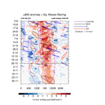
AI models have become pretty aggressive with TC development chances in the CPAC ~10-15 days from now. The large-scale environment is certainly supportive, with several overlapping equatorial waves driving a corridor of anomalous low level westerlies late next week:
1
1
25
1,543
Subsurface waters off the Indonesia have cooled substantially as of late, with low level easterlies firmly entrenched in the region thanks to el niño's background state. +IOD should strengthen significantly with trades to remain brisk, good signal for a mature +ENSO phase
1
4
34
2,817
(1) Arnab's swift strengthening over the past day has culminated this morning with a gorgeous satellite appearance. Troughing to the NW has opened up a large poleward outflow channel, which along with very hot waters, likely bolstered intensification overnight in spite of..
2
3
23
1,108
~15kts of directional shear.
1
95
CG15Wx retweeted
#Infa flew a little too close to the sun early this morning, with stronger westerly flow aloft from the +PV streamer to its north. If the inner core structure remains intact, a secondary bout of RI is possible after 06z as the TUTT cell splits, considerably lightening shear
1
11
621
Since this post was made untimely, convection quickly rotated upshear & now In-Fa is on approach to major typhoon status. The system is enjoying a maximum of poleward divergence in a saddle point, where 10-15kts of outflow shear can be easily managed.
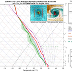
#In-Fa's current structure indicates the presence of moderate vertical shear, with repeated updrafts that initiate downshear struggling to rotate into the right of the shear vector. A nearby upper trough is driving moderate westerlies aloft.
1
4
31
1,692
Still worth watching for a stumble tomorrow morning as upper westerlies reach their zenith in magnitude, but conditions otherwise appear favorable for continued strengthening (very high upper divergence, hot SSTs)
4
124
Really struggling to understand why 98B isn't being classified as a tropical cyclone by the JTWC/IMD right now? One look at satellite imagery shows rotating convection over a tightly-wound LLCC, corroborated by a recent microwave pass revealing a formative mid-level core.
7
3
33
1,886
This is caused partially by 98B pivoting around a disturbance embedded within the monsoon trough (99A). This doesn't entirely negate the potential impacts for the region, however. As a result of this interaction, the TC slows down significantly near landfall, which is driving...
1
3
210
a high precipitation forecast, most notably for areas of Andhra Pradesh/Odisha & Chhattisgarh. Places along the eastern Ghats will likely experience the maximum rainfall given the prolonged orographic lifting, perhaps in excess of ~300mm with current ensemble solutions.
3
174
#In-Fa's current structure indicates the presence of moderate vertical shear, with repeated updrafts that initiate downshear struggling to rotate into the right of the shear vector. A nearby upper trough is driving moderate westerlies aloft.
1
1
1
14
2,577
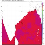
Gradual intensification can still be expected as SSTs are very warm: 29-30C, which is reflected in the convective intensity. Upper flow will flip to easterly through late Monday into the following afternoon as upper troughing fractures & ridging aloft takes hold.
1
3
200
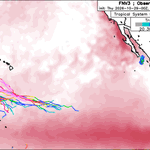
A brief increase in easterly shear may occur as the upper anticyclone amplifies to its northeast, but otherwise, the shear vector improves & becomes aligned with the storm motion. It isn't surprising that the FNV3 lifetime peak is in ~100 hours with shear approaching a minimum
1
3
94
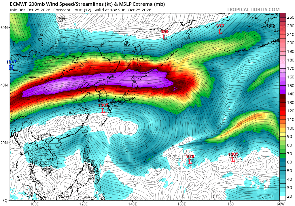
The North Pacific jet is likely to extend significantly through early November given a couple factors. A large cold shot over east Asia will drive an +EAMT (east asian mountain torque) occurring in tandem with anomalous convective forcing over the Central Pacific
16
1,302
Chelsea fans after this tottenham game
1
116
GET IN THERE CHARLIE 💪💪
34
118
18
2,022
147,198
In the words of Ty: if Arsenal lose today we mustn't forget that it'll be raining Storm Bono — fuelled by a very powerful jet streak — will bring widespread disruption & precip this afternoon in a region of widespread isentropic ascent/warm advection along a slanted front.
1
3
371