Zbigniew Ponicki (@maro55) header
Zbigniew Ponicki (@maro55) profile picture

Raised relief and other maps, mapy stare i nowe

Joined August 2009
Photo by Zbigniew Ponicki (@maro55)Photo by Zbigniew Ponicki (@maro55)Photo by Zbigniew Ponicki (@maro55)Photo by Zbigniew Ponicki (@maro55)Photo by Zbigniew Ponicki (@maro55)Photo by Zbigniew Ponicki (@maro55)Photo by Zbigniew Ponicki (@maro55)Photo by Zbigniew Ponicki (@maro55)Photo by Zbigniew Ponicki (@maro55)Photo by Zbigniew Ponicki (@maro55)
Mezoregiony Polski południowej
29
#30daymapchallenge starts soon. Some more shades of Poland
1
52
My version of Poland
24
Zbigniew Ponicki retweeted
Hi my name is Ty You’ve doom scrolled your way to my art. Enjoy!
Hi my name is Laura! You’ve doom scrolled your way my art. Enjoy!
14
20
1
436
14,969
Zbigniew Ponicki retweeted
A masterpiece of precision and artistry: Guillaume Henri Dufour’s Topographische Karte der Schweiz (1833–1863). Created at an impressive 1:100,000 scale, this 25-sheet national map set a new standard for scientific cartography in the 19th century. Steel-engraved with extraordinary detail, it uses delicate hachures to sculpt the Alps in three dimensions—capturing Switzerland’s dramatic terrain with remarkable clarity. Centered on the Bern Observatory and produced during a period of rapid technological progress, the map supported military planning, infrastructure, and national unity. See all sheets: davidrumsey.com/luna/servlet…
7
98
3
711
162,315
My attempt to decipher the remains of the fortifications built by the Austrians around Wieliczka in 1778 in the field using LiDAR data and K. Nicolaschi's map from 1785. #lidar #oldmaps
155
#30DayMapChallenge day 20 Water. Bathymetric contours for Morskie Oko and Czarny Staw, derived from a 1984 Polish military topographic map. Contours were digitized and interpolated to produce depth surfaces.
1
2
194
I realised it is 19th today.
76
Shaded relief map of Crete. Rising from -3400 metres south of the island in Libyan sea to Mt Ida's 2456 metres above sea level.
1
100
#DeepSeekR1 my chat with deepseek is not going well I think?
185
Dzisiejszy zjazd z Malej Rawki w Bieszczadach
1
103
Bieszczady, widok z przełęczy Wyznianskiej.
99
The Tatra mountains
3
120
Border region of Poland, Slovakia and the Czech Republic on a shaded relief map.
1
162
Na styku Polski, Czech i Słowacji.
101
Praca nad mapą kawałka Beskidów
1
1
175
Powoli zbliżam się do końca
71
#30DayMapChallenge day 18 3d Bieszczady (Eastern Carpathians) in Poland.
2
139
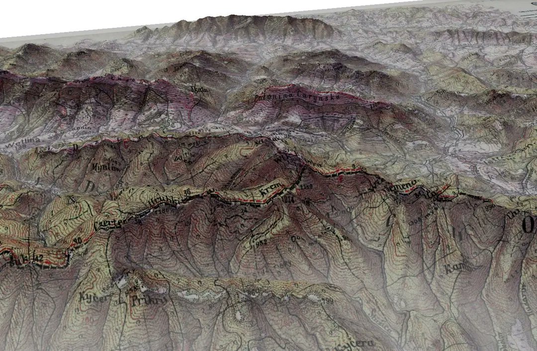
#30DayMapChallenge day 18 3d Tatra mountaoins Poland on a retro Chechoslovak map
1
20
794