

Water Security Lead @SERVIRGlobal - NASA🌏| Research Scientist @UAH_LAS💧| EO & GeoTech for environmental decision making 🛰️ | 🔄≠👍 | Views & opinions my own.
- Tweets467
- Following1.3K
- Followers311
- Likes830


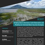









ALT NASA's GIS Day 2024 graphic is composed of 18 individual images representing the many ways GIS is used to support Earth science. A NASA logo is in the upper right corner and National Aeronautics and Space Administration in the upper left corner. The image title is See our World Through a Geospatial Lens. NASA Celebrates GIS Day. www.nasa.gov is shown in the lower left corner.


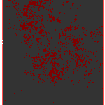
ALT Map of South America with a data overlay showing groundwater wetness percentile. The map is predominately red and orange with some blue and white spots mostly along the western coast.

ALT Area around Valencia (Spain) as seen from space in a true-colour image

ALT The same area around Valencia but after the terrible floods that hit the area on 30 October


ALT Billowing clouds of illuminated gas and dust are seen in this image of a small region within the nebula M17. Darker, reddish clouds are in the bottom half of the image and stretch diagonally across, while the upper half is colored in blues and greens. Bright lights of distant stars shine through. Colors represent chemical elements present: Red represents sulfur, green indicates hydrogen and blue represents oxygen. Credit: ESA, NASA and J. Hester (Arizona State University)