



Pinned Tweet
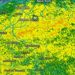
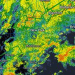
Official storm update 2:30pm
27.00” inches of snow snow in #DonganHills Staten Island
@NWSNewYorkNY @nynjpaweather @AllanWeather @BradyBGWX @JeffSmithABC7 @LeeGoldbergABC7


Bledi retweeted

Snow totals so far have significantly exceeded expectations along a narrow corridor in the Catskills, with localized totals near and even over 12" so far.
These areas were expected to receive some of the higher-end totals of the event, with higher elevation favoring colder temperatures and higher snow:liquid ratios.
But heavy snow rates from a quasi-stationary snow band aided in an even earlier changeover and more accumulation under the band than other high peaks in the region:
Bledi retweeted

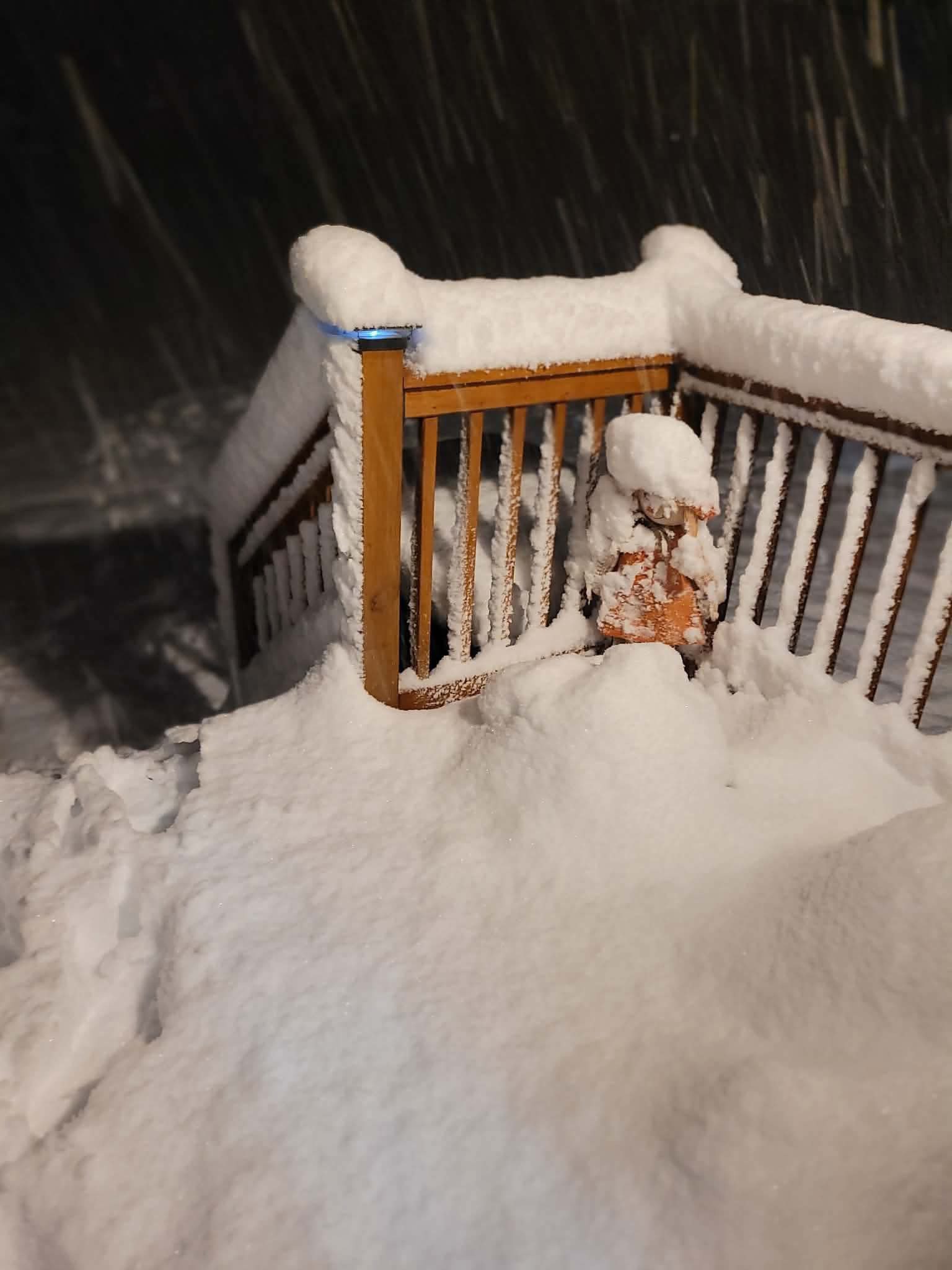
It’s happening!
Reports of 6-7” of snow in parts of NY already!
📸: Plainfield NY
Jeff Castle
#snow #nywx #wxtwitter #wxX
Bledi retweeted

The data is just not cold enough right now from the 24th and beyond.
Expect MAJOR COLDER trends by the weekend for 24th beyond.
I’d bet all of my money on it.


Bledi retweeted

Did someone order Turkey on ice? The models are in agreement on a an interesting pattern for Thanksgiving that is favorable for an East Coast snowstorm. I admit more what if than a real risk for now but I'd be excited to this pattern in a month! Consistent with influence of #SSW


Bledi retweeted
The Long Range European Model is sending a clear signal if you know how to read it!
#wxtwitter #wxX

My forecast for this winter snow for NYC is 25-40 inches.
I think repeat of last winter will be hard but average to slightly above average snowfall.
Temperatures probably slightly above.
Remember any snow before Christmas is a bonus…
3
7
677
Bledi retweeted
Watch for late NOV into DEC much colder trends than the current ensemble packages see right now.
The players are on the field for a 2 week period of a true Winter pattern with snow storms too.

Bledi retweeted

As we look towards late nov into early Dec, winter looks like it will get off to a quick start if you ask me. Long range models starting to trend towards colder and stormier conditions in eastern 1/3, polar vortex stays weak, active Sub trop jet , and MJO not in a bad spot.


Bledi retweeted

My CFSv2 Top 5 analog blend for December has gone nuclear!
If this is a true signal, the very warm December forecasts may be in trouble…


Bledi retweeted

CARLOS ALCARAZ IS INSANE 🤯🔥
One of the best angles you'll ever see.
#RolexParisMasters
It’s that time of the year again model tracking snow maps posting and blizzzard tracking let’s enjoy next 4 months ❄️
5
257


Bledi retweeted
The similarities in an analog for winter we have been watching closely on the new Euro seasonal is wild.
The 2009-2010 DJF period looks identical to the new Euro seasonal forecast.
The plot thickens.


Bledi retweeted
The GEFS is coming in gaining substantially higher HDDS. Big cold shift now being hinted at in the models around Nov 12th or so beyond.
Bledi retweeted
As we get into the latter half of the month, we are expecting cooler air to work into the eastern half of the country.
What could these changes mean for the winter months ahead? We'll be discussing this in our Winter Weather Webinar!
👀Register for free! bamwx.com/webinar

Bledi retweeted
Here was Decembers outlook from my winter forecast. Well see what happens. Should have the winter forecast video out later this week.


My 2026–27 Winter Forecast ❄️
This is a summary, a video will follow next week.
Forecast Summary Discussion:
This fall's El Niño is at record levels and a strong El Niño usually means a mild winter across the North. As an example, the 2024 nino was the warmest Northeast winter on record. This year I'm leaning against that warm consensus. The PDO is firmly negative (rare in El Ninos) and the QBO winds in the tropical stratosphere are close to the fall 1957 El Nino. The early season polar vortex is running slightly weak, and models forecast a displacement toward Hudson Bay around Halloween. Euro weeklies are also hinting at a ridge in eastern Gulf of Alaska/west Canada where warmer years had a trough at this point. I weight fall observations heavily.
This initially could mean a colder late Nov into early Dec before vortex strengthens again causing mid-late Dec though Jan to be warm in east with typical strong nino conditions dominating. The key then comes down to if we get a mid to late winter stratospheric warming.
Due to these current observations, I've moved off my initial thoughts of a very warm 1997/1982-led analog blend toward 1957–58, 1972–73, 1965–66 and 1969–70, keeping 1997–98 at a lower weight. Its bold, but that's the forecast.
TEMPERATURES
• December: near to slightly below normal in the East and South (Northeast about −0.7°F), milder in the northern Plains.
• January: the mild month, about +2 to +3°F in the Northeast, as the vortex recovers and the Pacific jet takes over.
• February: the core of winter. 4 of my 5 cold analogs had a major sudden stratospheric warming in Jan–Feb, including late January in 1958 and 1973.
• Overall: near normal to slightly cold in the East, colder than normal in the South.
SNOWFALL:
• Above normal (125–150%+ ) from Texas and Oklahoma through Tennessee, Virginia and North Carolina.
• Near to above normal in interior New England. I have the I-95 corridor near normal (90–110%)
• Below normal (50–75%) across the northern Plains, Upper Midwest and Great Lakes, and 75–90% in the northern Rockies.
• February is the wild card. Feb 1958 buried the Northeast, but most analog Feb were below normal there.
My forecast maps are below. Image 1 is temps and snowfall, image 2 is monthly temp departures. Notice how warm Jan is and 2nd half of Dec can be similar.

